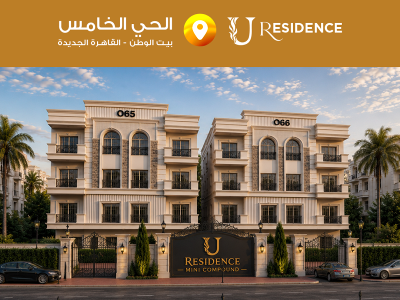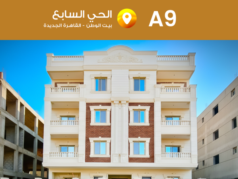
بيت الوطن التجمع الخامس L 27
تفاصيل المشروع
- البنية التحتية المتطورة: يشمل صرف صحي متطور، مياه، كهرباء، اتصالات، وتصميم الشوارع والممرات لتسهيل الحركة والوصول للمرافق.
- المواصلات والنقل: مرور خط القطار الكهربائي السريع "المونوريل" الذي يربط الحي بأهم مناطق القاهرة الكبرى ويوفر وسيلة نقل مريحة وفعالة.
- النسبة البنائية والمساحات الخضراء: 50٪ إنشاءات و50٪ مساحات خضراء وحدائق، لتوفير جو هادئ ومريح للسكان.
- التعليم: قرب المشروع من المدارس الدولية والجامعات الرائدة في التجمع الخامس والعاصمة الإدارية الجديدة، مما يتيح تعليم عالي الجودة للأطفال.
مميزات المشروع
- <div class="project-facilities">
- <ul>
- <li><strong>الفيوزون:</strong> منطقة متكاملة تضم مساحات خضراء، مرافق خدمية وترفيهية وتجارية، مثل المدارس، النوادي الرياضية، المراكز التجارية، المطاعم والكافيهات.</li>
- <li><strong>الأندية الرياضية:</strong> نوادي مثل النادي الأهلي، نادي الشرطة، والجزيرة، مع ملاعب كرة القدم والتنس، حمامات سباحة، ومراكز لياقة بدنية.</li>
- <li><strong>المولات التجارية:</strong> مولات تضم متاجر محلية وعالمية، مطاعم، سينما، ومساحات ترفيهية متنوعة لتلبية احتياجات السكان.</li>
- </ul>
- </div>
موقع المشروع
- الموقع المميز: الحي الخامس أحد أفضل أحياء بيت الوطن في التجمع الخامس، يحده من الشرق كمبوند بالم هيلز، ومن الغرب منطقة خدمات الفيو زون.
- اتصال بشبكة طرق رئيسية:
- شارع التسعين الشمالي: يربط قلب التجمع الخامس بطريق السويس مرورًا بالحي.
- طريق السويس: يحد الحي من الشمال ويشمل الحي الأول والثاني وحي جنوب طريق السويس.
- محور محمد بن زايد: يحيط بالحي من الجنوب ويفصل بين بيت الوطن والعاصمة الإدارية الجديدة.
- الطريق الدائري الأوسط: يوفر سهولة التنقل لبقية مناطق القاهرة الكبرى.
- القرب من مناطق خدمية: قرب الفيو زون والخدمات الترفيهية، التجارية، والمدارس، مما يجعل الموقع مثالياً للمعيشة والاستثمار.